Guanacaste by zone

Guanacaste, a sunny paradise.
With a total area of 10.140 km2 and over 700 km of coastline, the province of Guanacaste, in northwestern Costa Rica, includes the Pacific coast, savannah and inland mountains, from the border with Nicaragua to the mouth of Bongo River, in the south area of the Nicoya Peninsula.
Guanacaste is a land of privileged landscapes, sunny weather, a variety of ecosystems and home to a significant portion of the environmental and cultural heritage of Costa Rica.
A privileged region due to a vast diversity of nature and microclimates, with a significant number of protected areas including water, land, mountain and coastal ecosystems, where life develops with exuberance.
The incomparable beauty of its landscapes ranging from tropical dry forest to lower-montane forest and warm climate, as well as its fertile nature, have made Guanacaste a favorite place for local and international tourism, and it is one of the regions with the highest development, based in 4- and 5-star hotels, along with a chain of tourist services driven by small and medium companies.
Guanacaste has a modern international airport opened in 2012. The spacious and comfortable Daniel Oduber Airport (LIR) receives a large number of charter and regular flights from the US, Canada, Germany, Holland, England, Panama and Colombia, as well as extensive possibilities of international connections.
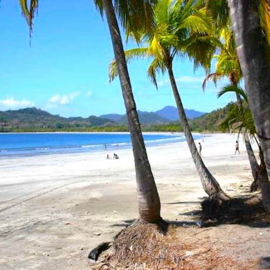
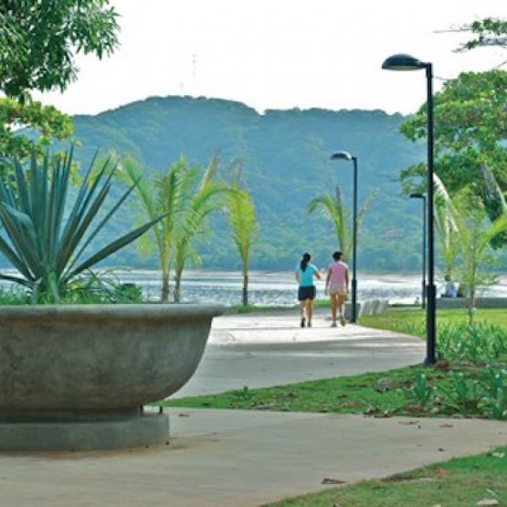
The numerous beaches along the Guanacaste coastline are bathed by the warm waters of the Pacific Ocean. The coastal scenery is outstanding. There are extensive white, gray, brown and even black sand beaches with a gentle sea tinted by an intense blue color.
We invite you to see it.
Come live life...unhurried.
Miravalles Volcano
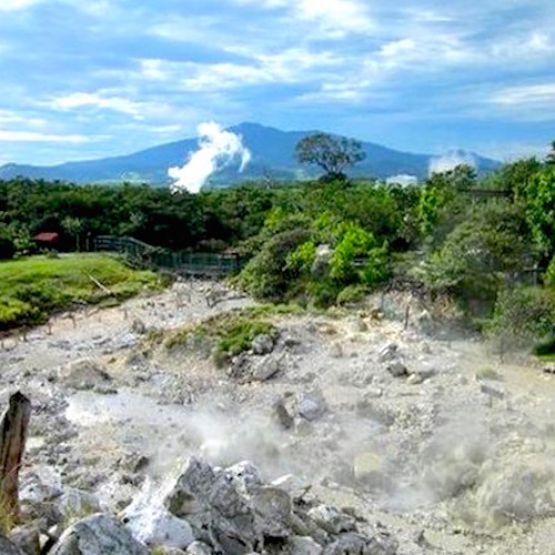
Miravalles Volcano is the highest volcano in the Guanacaste mountain range and is also a protected area that houses humid rainforest, moorland, montane forest and tropical dry forest, as well as a wide variety of wildlife.
Miravalles is also the energetic engine of Guanacaste, thanks to the use of its geothermal energy for the production of electricity. In this area, you will find several thermal pools and you can also visit fountains where the volcanic mud emerges to the surface.
Nicoya and surroundings
Nicoya is a large peninsula that houses the entire southern part of Guanacaste and is also the name of the city with more evidence of pre-Columbian Chorotega culture. Nicoya means "country with water on both sides" in Nahuatl language.
In the town of Nicoya, you can also find tourist hubs to visit the southern beaches of Guanacaste, tour the coffee plantations or venture into the magnificent caverns of Barra Honda. Various holidays that combine folklore and religion are other attractions tourists can enjoy in this area.
Santa Cruz and Palo Verde
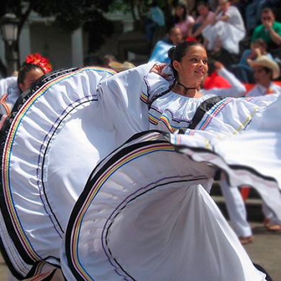
Santa Cruz, a city full of culture and traditions is the epicenter of folklore in Costa Rica. Pre-Columbian history, music, dance, cuisine and colorful festivals are some of the manifestations that visitors can enjoy in Santa Cruz.
The town of Guaitil near Santa Cruz, is the cradle of the Chorotega ceramic you see in every corner of the country.
Papagayo Peninsula
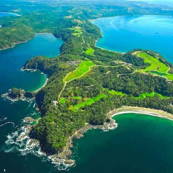
The Papagayo Peninsula is a strip of whimsical offshore geology that emerges from the center of the Gulf of Papagayo. It houses in its shores, tens of pristine beaches, breathtaking landscapes and lush tropical vegetation. Caves, cliffs, forests and mangroves complement its rich coastal landscape.
Those natural virtues, combined with its proximity to the International Airport (LIR) and the presence of beautiful hotels and luxury villas, have made Papagayo one of the tourism stars and a recurring destination for international celebrities who find luxury, relaxation and total privacy.
Tilaran and Nuevo Arenal
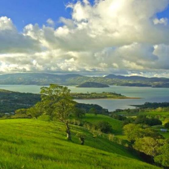
Among the evergreen zones of Guanacaste, we have the area of Tilarán and Nuevo Arenal, where the characteristic dry season of Guanacaste is barely perceived.
This area, traditionally devoted to livestock, was for decades only a crossing point between Guanacaste and the Arenal volcano.
Today, however, it has become a tourist destination with its own personality, developing services and attractions as adventure centers and wildlife watching in the surrounding forests or windsurfing, parasailing, boat tours, fishing and other water activities in the waters of lake Arenal.
Sámara and Nosara
Sámara and Nosara postcard-picture beaches with clear sand and abundant palm trees characterize the tourist belt of Ostional, Sámara, Nosara, Carrillo and Guiones, on the south coast of Guanacaste.
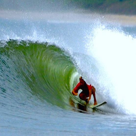
The beautiful bay of Samara houses coral reefs and calm waters, while Guiones is the favorite beach for surfers.
Ostional is the largest nesting area for the olive ridley turtle in Costa Rica and also a wildlife world famous refuge.
Originally a destination for adventurous tourists, the area has been differentiated towards an "organic tourism", where yoga, meditation centers and naturist kitchen are taking place among the surf schools, bed and breakfasts, and restaurants on the beach.
Liberia and Surrounding Areas
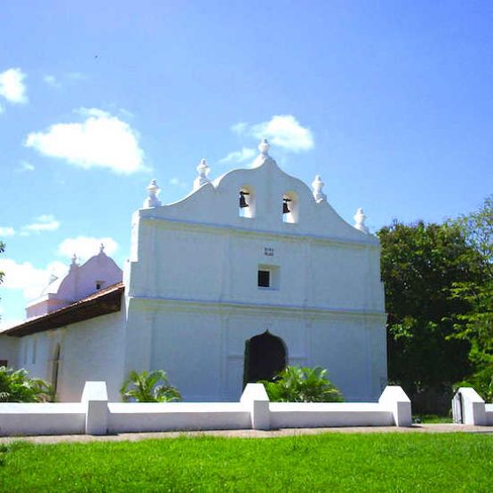
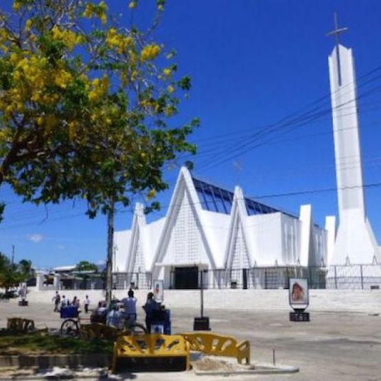
Liberia is the capital of the province of Guanacaste, and a valuable cultural treasure of Costa Rica. A must-see place for tourists interested in local culture, because they can learn about the rich colonial history and discover the colors and flavors of traditional life in Guanacaste.
The oldest residential buildings in the city, which still stand today, date back to the mid-nineteenth century, and consist of single level homes made of mud and adobe, with clay tile roofs. Its architectural line shows a clear colonial Nicaraguan origin and influence, as many of these homes were built by master builders of the neighboring country. Many houses had a central courtyard, which served to organize the internal spaces: kitchen, bedrooms and troja or maize deposit.
Tamarindo and surroundings
Tamarindo is a long beach of golden sand and long, powerful waves.
It is also a fun town that revolves around surfing, where surfers, local families and many "tourists who stayed to live" have shaped a village with colorful and lively roads.
“Tama” offers excellent hotels and services, as well as a very active nightlife, which has made it the center of action for night owls from nearby coastal communities as Flamingo, Conchal, Potrero or Brasilito.
Rincón de la Vieja Volcano
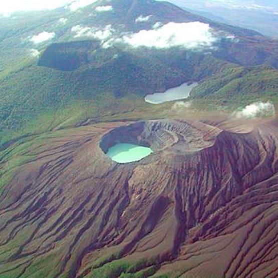
Despite its quaint name, it has a commanding presence. This national park and volcano is also a dry, premontane tropical rainforest.
The Rincón de la Vieja volcano massif is located in the watershed dividing the Pacific and the Atlantic Oceans. It is the source of 32 rivers, including Colorado, Ahogados, Pénjamo, Blanco, Azul and Azufroso, plus 16 intermittent streams. These river basins provide water to the city of Liberia, and some are also tributaries of the Tempisque river basin, the country's largest.
Playas del Coco
Playas del Coco is a coastal community located 20 minutes from the international airport. It is recognized as the epicenter of diving in Costa Rica.
It is also the largest town in the Gulf of Papagayo and, together with Panama, Hermosa and Ocotal beaches, make up the largest chain of tourist, residential and hotel services on the north coast of Guanacaste.
In addition to diving, the area is famous for the quality of its sports fishing, beautiful beaches with calm waters, a less rainy weather and a vibrant nightlife.
La Cruz and Santa Rosa National Park
La Cruz is the northernmost city of Guanacaste, not far from the border with Nicaragua. Its southeast boundary is the watershed divide of the Guanacaste volcanic range, where Orosí volcano is located.
About 70% of its economically active population works in livestock farming, agriculture and fishing. Its greatest development stemmed from the opening of the Inter-American highway. Additionally, thriving tourism as in the rest of the region has generously favored the population of this area, as many work in business and commerce; others have turned their homes into small hotels or "sodas" (cafeterias).
Tenorio Volcano
This volcano and national park protects a large area of premontane, rain and cloud forests.
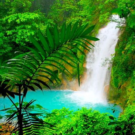
Among the attractions of the area, the famous Celeste River reigns with its stunning turquoise waters and a beautiful sky-colored waterfall.
Chosen among the 10 most beautiful rivers in the world, Celeste River and Tenorio National Park are a perfect choice for nature lovers and wildlife viewing.
You can also enjoy hot springs and rustic hotels, strongly based on sustainability. The park is of high biological importance, it protects a vast area of primary forests and protects several endangered species such as agoutis, tapirs and pumas.
This is a hidden article.
